
$13.59
$16.99
50% OFF! Hot items selling fast—Grab them before they're gone!
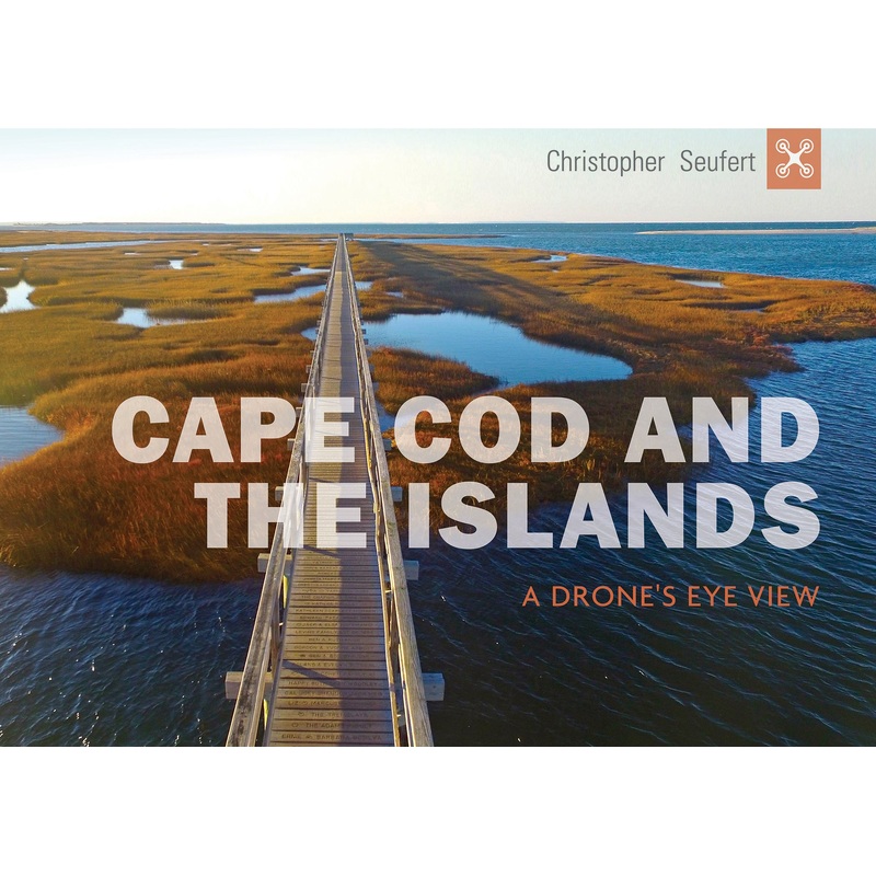
More than 100 drone images reveal the Cape Cod’s ocean currents, tide pools, geological forms, and neat town grids from never-before-seen angles and perspectives.
What do the wreck of the Liberty ship JamesLongstreet, Provincetown dune shacks, a great white shark, and surfers at WellfleetsLeCount Hollow have in common? They’re all captured from altitudes of up to 400 feet in photographs by Cape Cod native ChristopherSeufert.
More than 100 images reveal the cape’s ocean currents, tide pools, geological forms, and orderly town grids from never-before-seen angles and perspectives. They also give equalexposure to both hidden corners and well-traveled landmarks of every town on the cape, including Martha’s Vineyard and Nantucket.
The author’s creative use of the latest drone technology will be a revelation for even the most seasoned Cape Codder.[AuthorName]By Christopher Seufert[/AuthorName][AuthorBio]Photographer Christopher Seufert lives in Chatham, Cape Cod. He has authored six photography books and is an FAA-licensed commercial drone photographer, www.CapeCodPhoto.net.[/AuthorBio][NumIllustration]115 color images[/NumIllustration][CoAuthor][/CoAuthor][SubTitle]A Drone’s Eye View[/SubTitle][ColorPattern]115 color images[/ColorPattern]